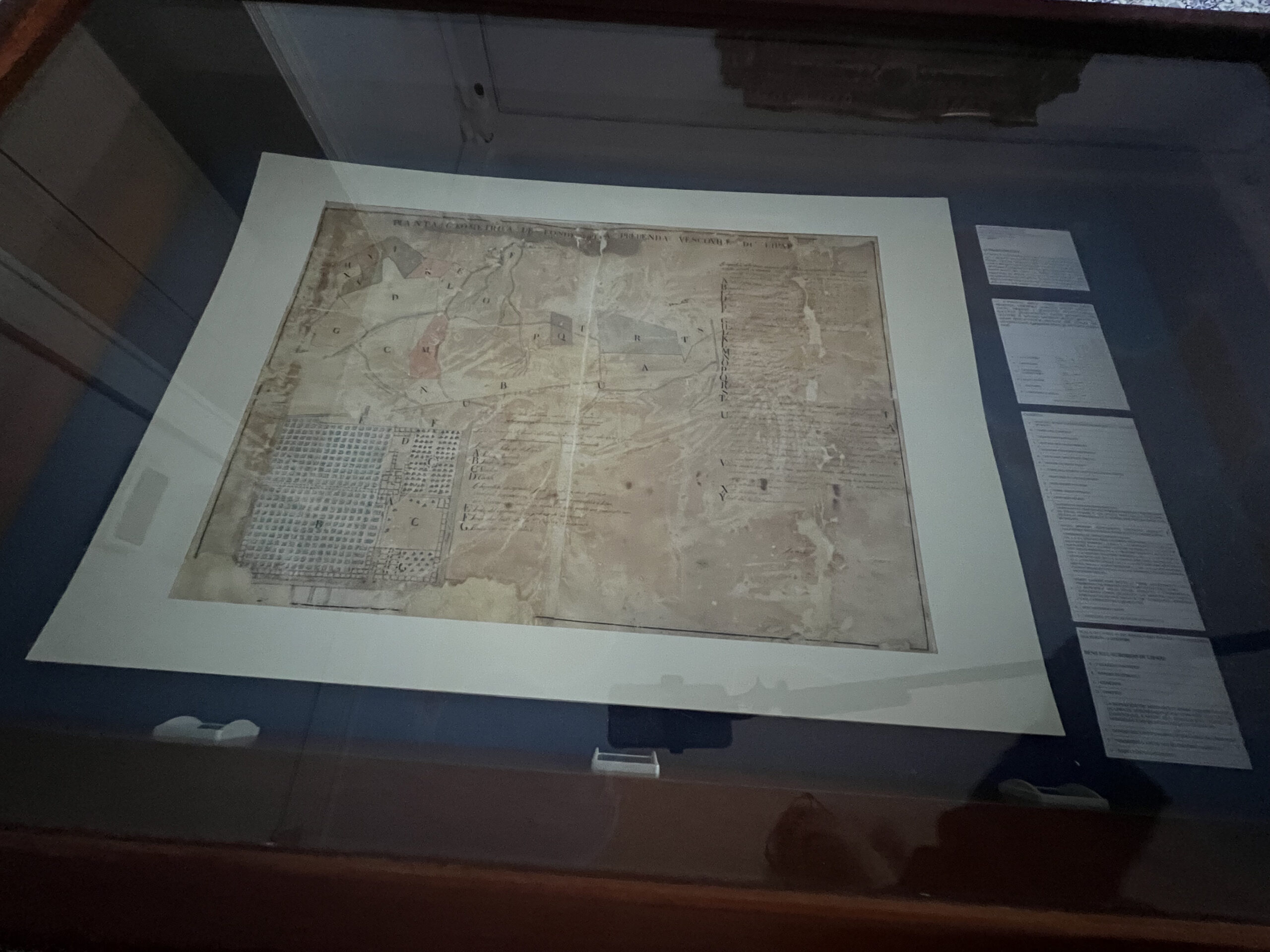
This interesting geometric map represents, to scale, the property belonging to the Bishop’s Canteen of Lipari and the bordering funds. Through it, it is possible to reconstruct what the area of the bishop’s palace looked like at the beginning of the 19th century.
In the bottom left-hand corner, the rooms of the bishop’s palace can be distinguished, with the large vineyard next to it (already attested at the end of the 16th century) and the buildings of the Seminary facing the present Corso Vittorio Emanuele, indicated as Via che da San Pietro conduce al Pozzo.
In the area behind the Palace, numerous plots of land are reproduced with specific information – in the legend in the top right-hand corner – on people, places, boundaries, dimensions, etc. The Mensa Vescovile (Bishop’s Canteen), repealed in 1984, consisted of all the assets belonging to the bishop that guaranteed a sufficient income to maintain the Prelate, his residence and the diocesan Curia. The Mensa Vescovile di Lipari was unique in that the Bishop owned almost the entire Aeolian territory. Evidence of this can be found in the registers of the annals of censi from the 16th century onwards and in the measurement reports of the various islands drawn up by land surveyors in the 18th century.

